Raritan River Basin
NWNL WATERSHEDS
|
NEW ESRI StoryMaps: What's On Our Shelves & NWNL Song Library & No Water No Life ESRI |
NWNL WATERSHEDS
Don’t miss our RARITAN RIVER EXPEDITIONS PHOTO GALLERY

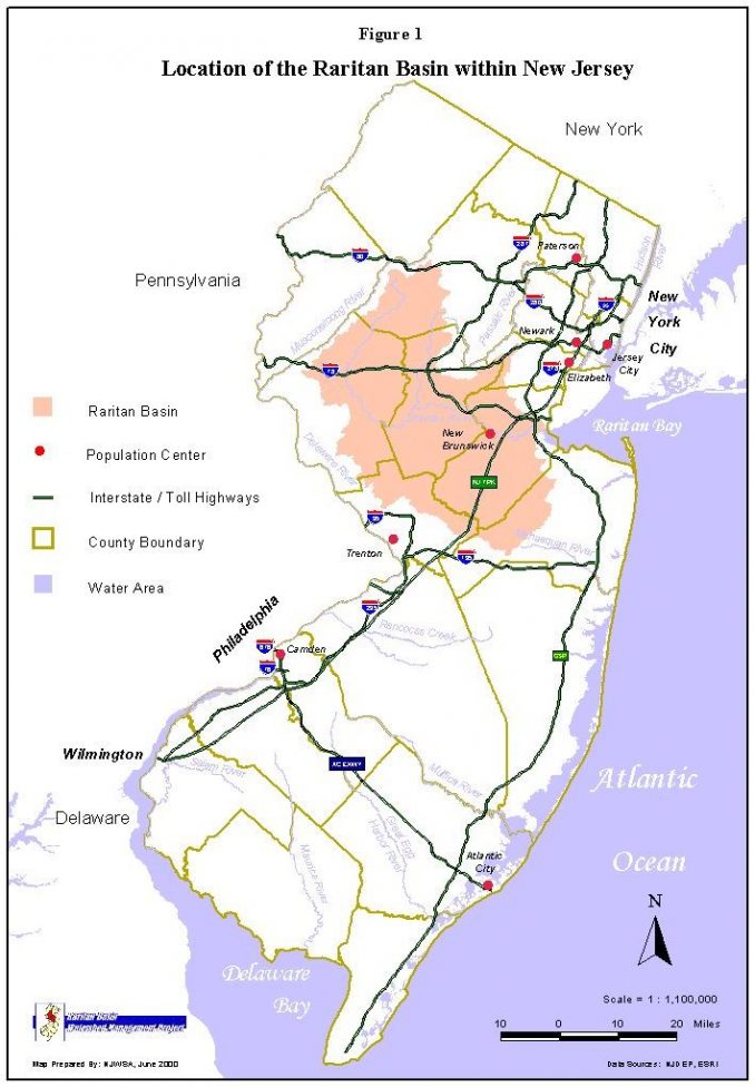
The Raritan River collects water from 6 New Jersey counties and 49 municipalities, terminating in the Raritan and Hudson Bays. Today this is the largest watershed in New Jersey, the most densely-populated state in the nation.
However, before the American Revolution, early Dutch settlers built grist mills on the Raritan, called the “Forked River” by Native Americans. In the 1830s the Raritan-Delaware Canal provided a waterway connecting Philadelphia and Pennsylvania’s coal fields to New York.
Today the relatively pristine Upper Raritan, habitat for endangered ancient wild brook trout, is challenged by an excessive deer population seriously reducing vegetative and forest renewal and by the need to preserve its farms and open space.
The lower watershed, cited as 14th among US rivers polluted by direct and sewer discharges of toxic chemicals (from 1990-1994), has been heavily impacted by intense industrial and storm runoff pollution and heavy flooding due to extensive urban impervious surfaces and climate change. Upper and lower watershed stakeholders are now trying to coordinate efforts to provide sustainable policies that address the widely differing upstream and downstream challenges.
