
Omo River Basin
NWNL WATERSHEDS
|
NEW ESRI StoryMaps: What's On Our Shelves & NWNL Song Library & No Water No Life ESRI |
NWNL WATERSHEDS
September 2004 Lake Turkana Basin, Central Island: Koobi Fora
September 2007 Lower Omo River and Omo Delta: Ethiopia
January 2008 Lower Omo River Basin: Ethiopia
January 2013 Omo River Basin and Gibe Dam Interviews: Kenya
February 2013 L Turkana Basin, Kapenguria, Lodwar Kerio River and Eliye Springs: Kenya
February 2018 Lake Turkana Basin, Lobolo: Kenya
Don’t miss our OMO RIVER EXPEDITIONS PHOTO GALLERY
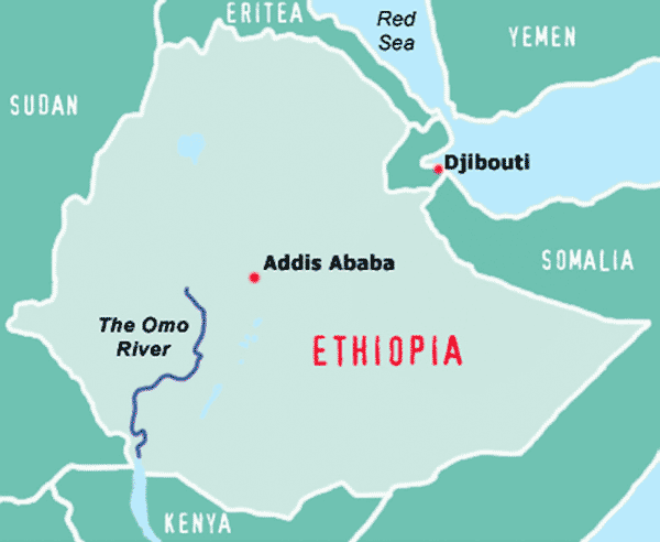
The Omo River, flowing 621 miles from Ethiopia’s Shewan Highlands to Kenya’s Lake Turkana, creates an inland drainage basin of about 56,371 square miles. It is a lifeline for half a million people with little political power but who have been completely self-sustaining for 6000 years, due to their practice of flood-recession agriculture. Unlike others in the arid regions of southern Ethiopia, the Omo River Valley tribes have not needed any food aid during long drought periods, due to the grains grown following the months of annual floods. But these people may soon be standing in those food-aid lines if a proposed cascade of massive hydro-dams is built on the Gibe River upstream tributary.
The Gibe III Dam in particular will both control the Omo River so there is no flood cycle and dramatically lower the water levels of its inland terminus Lake Turkana, the world’s largest desert lake. The Omo Valley communities will no longer be able to be self-sustaining. In conjunction with the dam plans, there have been plans for constructing a new highway that would cross the Omo River from Sudan to Kenya; but that failed as the bridge collapsed before open due to poor construction. However, in anticipation of the dam’s water storage and flow regulation, large-scale irrigation projects are being undertaken which significantly further reduce the flow of the Omo and push the indigenous tribes off the banks of the Omo River.
The consequences of these projects include increased immigration of foreign populations taking over the homeland of indigenous tribes as commercial agricultural schemes are put in place, and over-extraction of the Omo’s fresh water resource, negatively impacting basin cultures and riverine, deltaic and lake ecosystems.