Emma gave the Crane Trust audience an enthusiastic introduction to fellow photographer Michael Forsberg’s “Timelapse On The Great Plains – A Documentary Project.” A few months later, the multi-media Platte Basin Timelapse Project became part of The Center for Great Plains Studies, focusing on the region’s ecosystem as a top priority. Michael Forsberg is a Senior Fellow of the International League of Conservation Photographers, as is NWNL Director Alison Jones. Michael effectively asks the same question NWNL also asks: “Do you know where your water comes from?”
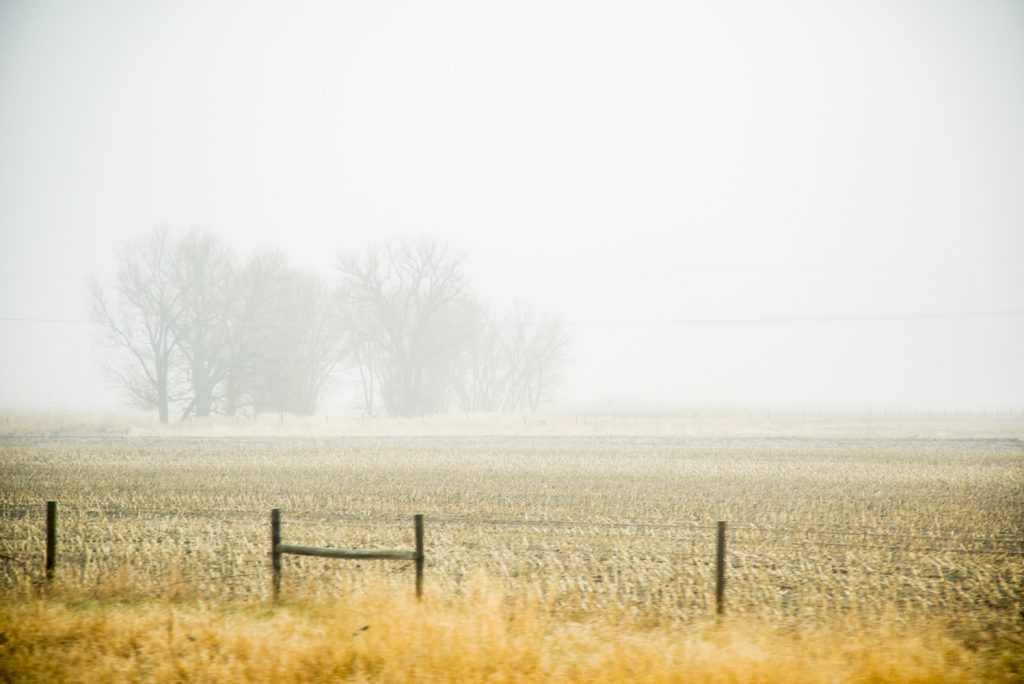
Foggy morning views of prairie, Central Platte River Basin
Emma's Intro to Forsberg's “Great Plains Project”
Hello! I work for conservation photographer Michael Forsberg’s Great Plains Project, a multi-media endeavor that centers around timelapse photography. This form of science communication is the brainchild of Michael Forsberg and documentary filmmaker Michael Farrell. It is based on photographic data from 2011 that captures the heart of the Great Plains. This 90,000-square-mile region crosses through Wyoming and Colorado, and through Nebraska to the border of Iowa.
Their timelapse covers the value of the waters of the Platte River which supports irrigation, supplies habitat for endangered species such as whooping cranes; gives us tap water and hydroelectric power; and provides recreation.
Historically, the Platte was an uncontained prairie river, referred to as being “a mile wide and an inch deep.” The river might have been a lot wider than that; but over the last century, dams, diversions and reservoirs contained the Platte and removed about 70% of its water flow, changing the hydrology and ecology of the river basin.
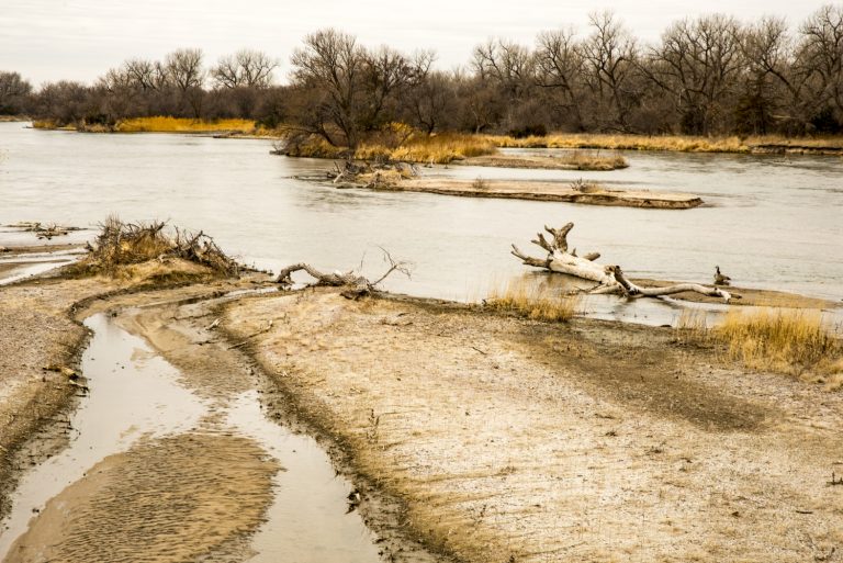
Islands in the Platte River, seen from South Alda Road
Posted by NWNL on October 17, 2019. Transcription edited and condensed for clarity by Alison M. Jones.