Interviewee

Howard Berman

Interpretive Guide

Interviewer

Alison M. Jones

NWNL Director and Photographer

San Luis Reservoir, Los Banos CA, March 25, 2016

Introductory Note

Two years earlier, I visited this reservoir; toured its educational Romero Visitor Center; and met Howard, a font of knowledge regarding California water supplies. The Center overlooks the San Luis Reservoir and its Sisk Dam, the 5th largest in California. Realizing recent rains had helped fill the reservoir, I returned on our 5th California Drought expedition to document the swinging ups and downs of California’s megadrought. Fortunately, Howard was still there and again willing to spend time sharing data on this dam, built to hold 2 million acre-feet of water to irrigate Central Valley farms and supply drinking water to millions of Californians.

A Romero Visitor Center map showing the 450-mile-long Central Valley (in green), once an inland sea

Outline

RESERVOIR CAPACITIES & REALITIES
2014 SNOW SURVEY & CONSERVATION
WATER DISTRIBUTION
HYDROPOWER at the RESERVOIR
LOS ANGELES WATER SUPPLY
GROUND WATER ISSUES
REGIONAL COOPERATION and COMPARISONS

Years ago, before we ever got here, there weren’t any dams on the rivers. The rivers flowed and flooded the valley. That water would soak into the ground and build up the groundwater table…. Then we came along and started building these dams. – Howard Berman

All images © Alison M. Jones, unless otherwise noted. All rights reserved.

RESERVOIR CAPACITIES & REALITIES

NWNL  Howard, thank you for again walking me through your Visitors Center. I’ve learned much from the graphs and displays. This reservoir has played a critical role in helping California through the current megadrought; and it has gone thru a contrast see-saw of rain events and other related conditions since I was last here.  

HOWARD BERMAN  That was March 25, 2014, precisely 2  years ago from today, when we were probably close to 42% capacity. We had just reopened 9 days before that. We were closed the first half of that month. 

NWNL  I hear your reservoir’s water level is now at 51% – nine percentage points higher.

HOWARD BERMAN  Yes. But historically speaking, we should be close to 90% this time of year.

NWNL  Did you get sufficient rain from this winter’s El Nino? And even if so, do you worry whether that boost will soon evaporate.? Will water levels then go back down to recent low levels?

HOWARD BERMAN  No, because we’re still in El Nino. We had a very wet January for this region. Then precipitation in February died, which kind of surprised me. However, the first part of March was wet, thanks to rain, wind and snowpack. 

View from Romero Visitor Center of the San Luis Reservoir at 51% capacity

2014 SNOW SURVEY & CONSERVATION

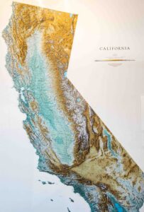
HOWARD BERMAN  To help our planning, the State of California Department of Water Research, the department I work with, does annual Snow Surveys. Those surveys have sensors that measure our water content from satellites.  

We and other agencies go up to the same place every year, about 7,000’ elevation, east of Sacramento and up Highway 13. We did a Snow Survey this February 2nd, on Groundhog Day of all days! It showed we’re at 130% of normal water content. But one month later, in March, our survey showed us at 83% of normal water content. The next survey will be April 4th. By April, the storms are about gone. That’s why I think May’s the most critical survey we do.

California Governor Jerry Brown went up to the Snow Survey last year (April 2015). I’ve never seen a governor go up for our Snow Survey. He’s certainly busy, but he went up because there was no snow on the ground – absolutely nothing. So, right there, he made a proclamation that the whole state will cut back on water use by 25-30%, depending on where you live.

NWNL  Does that still hold despite recent El Nino rains?

HOWARD BERMAN  Yeah, by February El Nino was dead. But back in ’97 and ’98, we had very wet El Nino’s in February. In 1998, we got over 9” of rain that month.. In 1998, when we February might yield only a ½” of rain, we had over 6” of rain. I’d never seen that before, despite being up here 40 years. I don’t know what it was like before, although I’ve lived in California 50 years. They did say this would be the Godzilla El Nino..

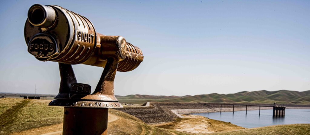
NWNL  How much snow up there now will continue to fill this reservoir?

HOWARD BERMAN  I don’t know. Usually in March/April we start to release water, but maybe not so much from this reservoir. But the snow this year melted in our warm February which was then followed by a cold first part of March. Then snow started to build up again….

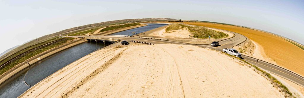
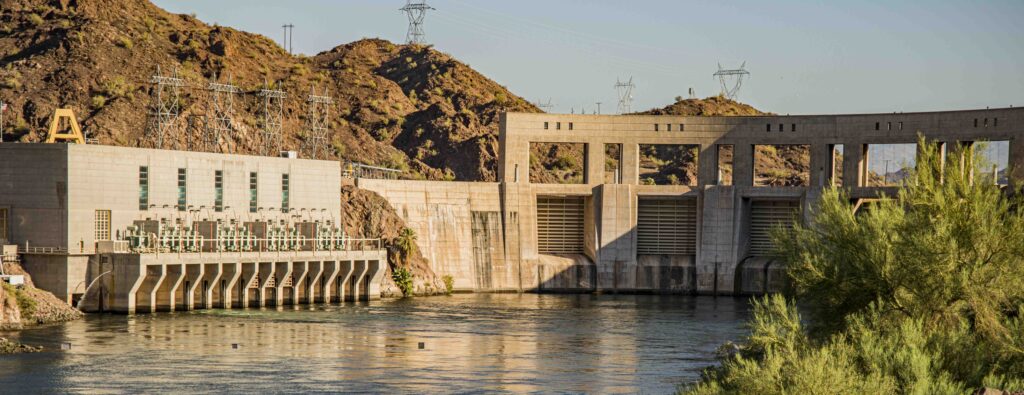
They may keep the water here. Water that we’ll bring down once snows start melting will just go right by us. We don’t store it here – it just keeps going south to our customers. We may release water from here as well.  

Romero Visitor Center’s maps and signs explain California’s water-distribution issues

WATER DISTRIBUTION

HOWARD BERMAN  You live in New York City. Does your water come from the Catskills?

NWNL  Much of it does; and it’s clean and delicious.

HOWARD BERMAN  So, without the Catskills, the 7 million people New York City couldn’t survive. Would you want to drink the Hudson River, the East Bay, the East River?

NWNL  Ouch, no! But back to your reservoir… when you release water, where does it go?

HOWARD BERMAN  We release water from the Lower Lake. First, we pump it up, and then we release it back down through the same tunnels – the pump becoming a hydropower plant. Then the water, back into the lake below us, goes south or southeast. Some of this water goes westward over to the Santa Clara Valley – probably every day.

NWNL  Up over Pacheco Pass?

San Luis Reservoir, seen from Romero Overlook, with sign on Pacheco Pass explorers entering the San Joaquin Valley in 1805


HOWARD BERMAN 
Yeah, via the pumps.

NWNL  Does the water go through the hills, or does it go up and over?

HOWARD BERMAN  It goes up, and then through the pipeline. So, climb the hill, and just as you start going downhill, look to the left… That mountain over there is the tunnel. Then there’s Bell Station, where they have a food stand now. When the water gets down the other side of Bell Station, it goes into a pipeline to be distributed to the southern Santa Clara County and northern San Diego County.  

NWNL Via canals?

HOWARD BERMAN  No, it goes all underground.

HYDROPOWER at the RESERVOIR

NWNL  When you release the water in this San Luis Reservoir, do you produce hydropower to pump your water to its destination?

HOWARD BERMAN  We do.

NWNL  And then where does it go? Into canals?

HOWARD BERMAN  Depends how far south the water is headed. Some goes to this side of Southern California.  Some of this water is going up and down to Riverside County and then distributed down to San Diego County, via the California Aqueduct which stretches all the way down.  

The California Aqueduct below San Luis Reservoir, at I-5 and RT 152 intersection, seen through a fisheye lens

LOS ANGELES WATER SUPPLY

HOWARD BERMAN  If you go to Los Angeles [L.A.] there’s a lake I call Pyramid Lake, which is part of the State Water Project. All its water comes from Lake Oroville, a small lake northeast of Sacramento that pulls its water out of the Sacramento Delta.  

From Pyramid Lake, the water goes by a 7-mile tunnel into Lake Castaic, north of Magic Mountain north of the L.A. area. Then that water is distributed to L.A. and Ventura Counties. That aqueduct, called the East Branch, goes to the Mojave Desert, Lancaster, Palmdale and then down to a lake above San Bernardino. When that water is released, it goes into a pipeline that’s under parkland. From there, the water flows underground to Lake Perris, and then either to San Diego, L.A. County, San Bernardino County or Lake Oroville.

Mohave Desert’s dry Soda Lake

GROUNDWATER ISSUES

NWNL  Do they use any of this water to restore groundwater supplies?

HOWARD BERMAN  They could. Kern County had a system, called the Kern County Water Bank. I don’t know whether they got water from Kern River or took surplus water and then put it in the ground. Maybe they’re still doing that. I don’t know. I think the State of California operated it, and then turned it over to the Kern County Water Agency to recharge the water table.

NWNL  Is that the only groundwater replenishment project in this state?

HOWARD BERMAN  No, there are some other areas down in Southern California. Because of the drought, farmers need to pump water. But that wasn’t how it was intended to be; because pumping the water depletes groundwater. Then the ground subsides, creating another problem.

NWNL  Yes. That’s why I asked about groundwater replenishment.  

HOWARD BERMAN  Years ago, before we ever got here, there weren’t any dams on the rivers. The rivers flowed and flooded the valley. That water would soak into the ground and build up the groundwater table, despite there was no one using it.  Then we came along and started building these dams.

We now have close to 1,200 dams in California. We have the tallest dam in the United States at Oroville, which is part of the State Water Project. The City of L.A. gets much of its water from the east side of the Sierra Nevada. The City of San Francisco gets its water from Yosemite National Park.

Bitterwater Valley, on western edge of Kern County, in San Andreas Rift Zone

REGIONAL COOPERATION and COMPARISONS

NWNL  Does L.A. also get water from the Colorado River?

HOWARD BERMAN  Yes, indirectly. L.A. is a member of the Metropolitan Water District [MWD]. In the 1930’s, Southern California’s city water agencies and local water districts got smart. They all got together. Instead of fighting one another, they formed the MWD.

The MWD built the Colorado River Aqueduct to take water from the Colorado River at Lake Havasu to supply Southern California water districts. The MWD buys water from the State Water Project, for whom I work here at the San Luis Reservoir. They’re our biggest customer.  

[State Water Project’s Mission Statement: “To manage the water resources of California with other agencies, to benefit the State’s people, and protect, restore, and enhance the natural and human environments.”]

The City of L.A. has its own water project. It’s probably less expensive for them to take their own water from their own water project. Since LA is one of the original members of MWD, they get to buy its water when they need extra water.

Parker Dam siphons water from Colorado River’s Lake Havasu into MWD’s aqueduct to L.A.

NWNL   If L.A. is Southern California, what do you call this Central Valley region?  

HOWARD BERMAN  This is Central California. 

Southern California ranges from the top of the Tehachapi Mountains all the way down to San Diego. Southern California includes Malibu, the L.A. County area, Orange County, and Ventura County people. Central Coast includes San Luis Obispo people. The North includes Mendocino and those areas. California is the most populated state – but when I lived in New York State, it was the most populated state.

NWNL  And New Jersey is the most densely populated state.

HOWARD BERMAN  Well, parts of New Jersey…. If you get out further west, it’s not that bad.

NWNL   It’s beautiful, especially the Upper Raritan Basin out in rural western New Jersey, where I grew up! It’s interesting how this conversation ranged from Los Banos to L.A., then northwards through several California regions, and then over to New Jersey! But let me thank you for a wonderful discussion explaining the amazing infrastructure California has created to move water to cities and farms. I wish you rain and sufficient water supplies for many years.  

San Francisquito Canyon water pipes, used by LA Dept. of Water & Power, cross the transverse Sierra Pelona Mountains

Posted by NWNL on March 25, 2024.
Transcription edited and condensed for clarity by Alison M. Jones.

All images © Alison M. Jones, unless otherwise noted. All rights reserved.